Posts by Collection

events

Attended the Dragon-6 Symposium

Published:

Presented under the project EO-AI4ResilientCities: Enhancing Urban Resilience with Earth Observation and AI-Powered Insights.
Poster title: Urban Functional Zone Change Detection via Multi-Source Temporal Fusion of Street View and Remote Sensing Imagery.

portfolio

Urban Functional Zone Identification Supported by Geospatial Big Data

This study explores the application of geospatial big data to identify and characterize urban functional zones. It emphasizes the potential of large-scale spatial data and advanced analytical methods to uncover urban spatial patterns and provide valuable support for planning and sustainable development.

publications

Mapping Co-Seismic Landslides in Vegetated Areas by Incorporating Tri-Temporal Logical Information in Change Detection Method

Published in IEEE Transactions on Geoscience and Remote Sensing, 2024

Introduces a tri-temporal logical change detection method enabling automated mapping of co-seismic landslides in vegetated regions.

Recommended citation: Yang, C., Wang, X., Guo, S., … Du, P. (2024). "Mapping Co-Seismic Landslides in Vegetated Areas by Incorporating Tri-Temporal Logical Information in Change Detection Method." *IEEE Transactions on Geoscience and Remote Sensing*, 62, 4706019.
Download Paper

Influence of urban functional zone change on land surface temperature using multi-source geospatial data: A case study in Nanjing City, China

Published in Sustainable Cities and Society, 2024

Quantifies how shifts in urban functional zones contributed to a 0.71 °C increase in land surface temperature from 2013 to 2022.

Recommended citation: Fang, H., Guo, S., Yang, C., … Du, P. (2024). "Influence of urban functional zone change on land surface temperature using multi-source geospatial data: A case study in Nanjing City, China." *Sustainable Cities and Society*.
Download Paper

Unsupervised Impervious Surface Change Detection Using a Coarse-to-Fine Hierarchical Approach

Published in IEEE Geoscience and Remote Sensing Letters, 2025

Proposes an unsupervised coarse-to-fine hierarchical strategy for detecting changes in impervious surfaces from remote sensing imagery.

Recommended citation: Fang, H., Yang, C., Zhang, P., … Guo, S., & Du, P. (2025). "Unsupervised Impervious Surface Change Detection Using a Coarse-to-Fine Hierarchical Approach." *IEEE Geoscience and Remote Sensing Letters*.
Download Paper

The impact of photovoltaic plants on dryland vegetation phenology revealed by time-series remote sensing images

Published in Agricultural and Forest Meteorology, 2025

Demonstrates that photovoltaic plant deployment advances the start of the growing season in drylands by approximately 13.7 days.

Recommended citation: Xia, Z., Li, Y., Guo, S., … Du, P. (2025). "The impact of photovoltaic plants on dryland vegetation phenology revealed by time-series remote sensing images." *Agricultural and Forest Meteorology*.
Download Paper

Fine-timestamped street view imagery reveals patterns of pedestrian dynamics associated with urban functional characteristics

Published in Cities, 2025

Reconstructs fine-timestamped pedestrian dynamics from Baidu Street View imagery to reveal how urban functional characteristics shape spatiotemporal patterns of pedestrian activity.

Recommended citation: Yang, C., Hong, F., Guo, S., … Du, P. (2025). "Fine-timestamped street view imagery reveals patterns of pedestrian dynamics associated with urban functional characteristics." *Cities*, 169, 106515.
Download Paper

Detecting urban functional zones changes via multi-source temporal fusion of street view and remote sensing imagery

Published in International Journal of Applied Earth Observation and Geoinformation, 2025

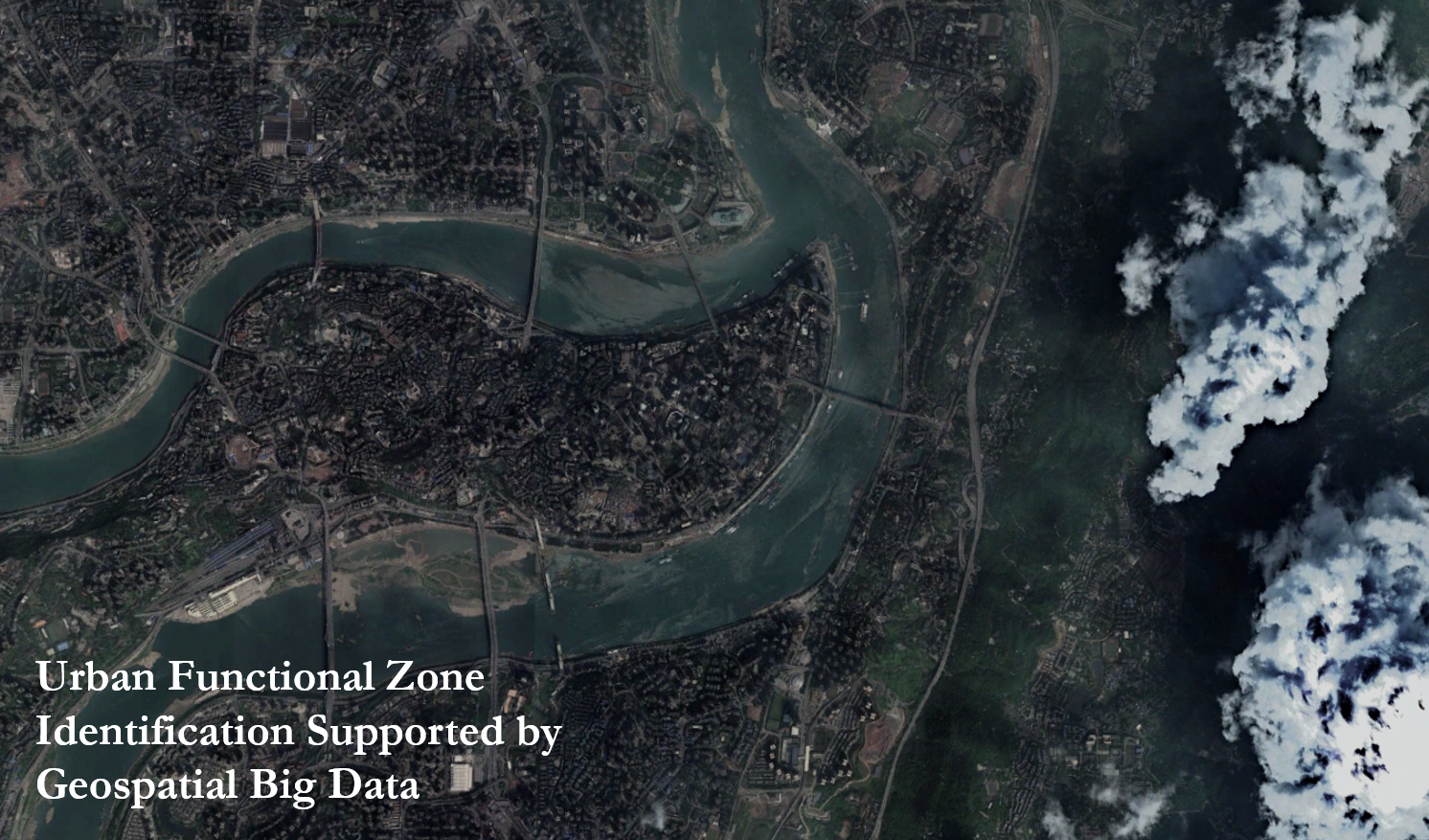
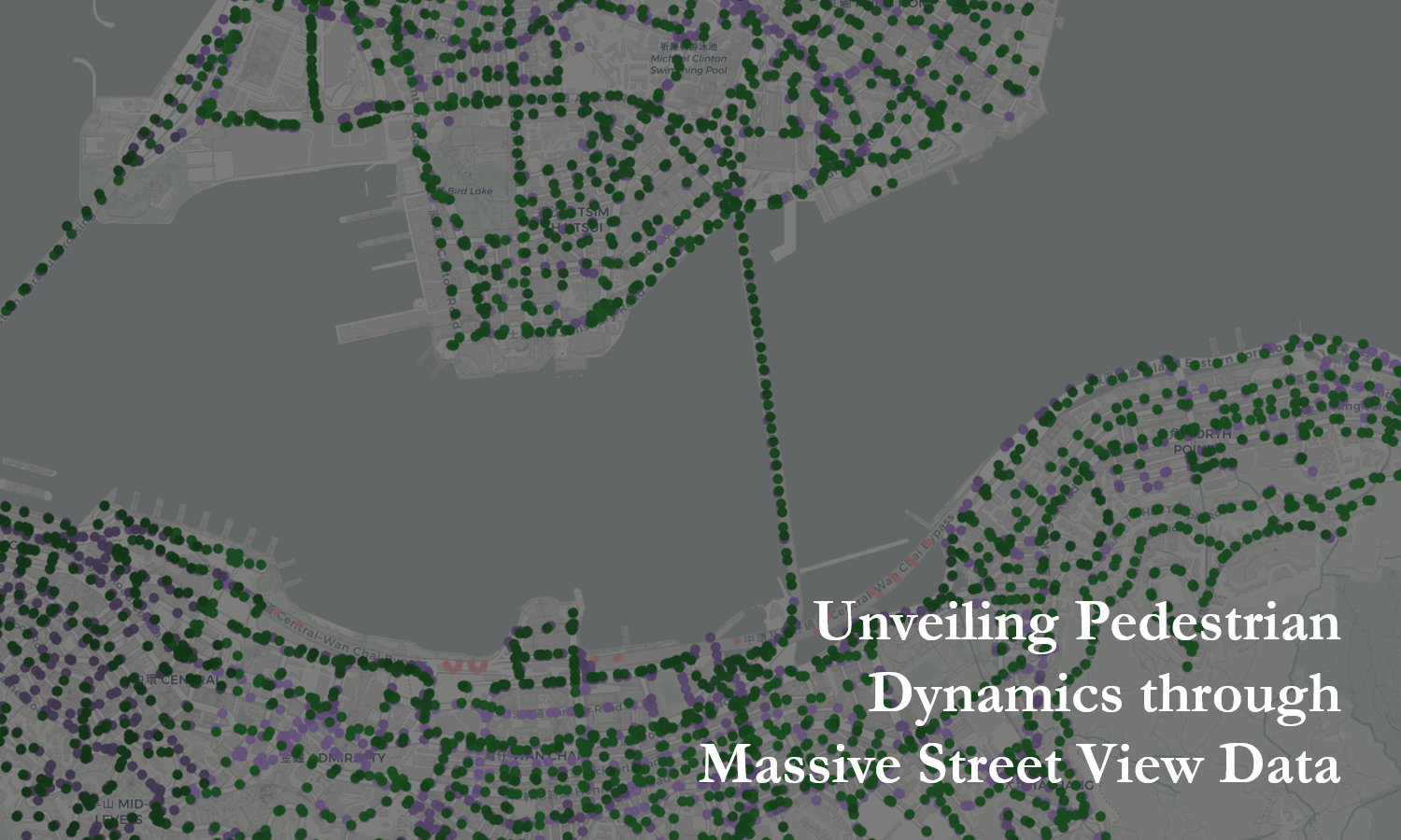
Fuses multi-temporal street-view and remote-sensing imagery to detect transitions in urban functional zones, revealing spatial patterns of urban renewal and land-use transformation since 2014.

Recommended citation: Yang, C., Fang, H., Guo, S., Tang, P., Xia, Z., Zhang, X., & Du, P. (2025). "Detecting urban functional zone changes via multi-source temporal fusion of street view and remote sensing imagery." International Journal of Applied Earth Observation and Geoinformation, 144, 104933.
Download Paper

talks

teaching

Teaching experience 1

Undergraduate course, University 1, Department, 2014

This is a description of a teaching experience. You can use markdown like any other post.

Teaching experience 2

Workshop, University 1, Department, 2015

This is a description of a teaching experience. You can use markdown like any other post.