Unveiling Pedestrian Dynamics through Massive Street View Data
This study uses large-scale street view data to examine pedestrian dynamics, providing new perspectives for understanding urban spaces and human activities. 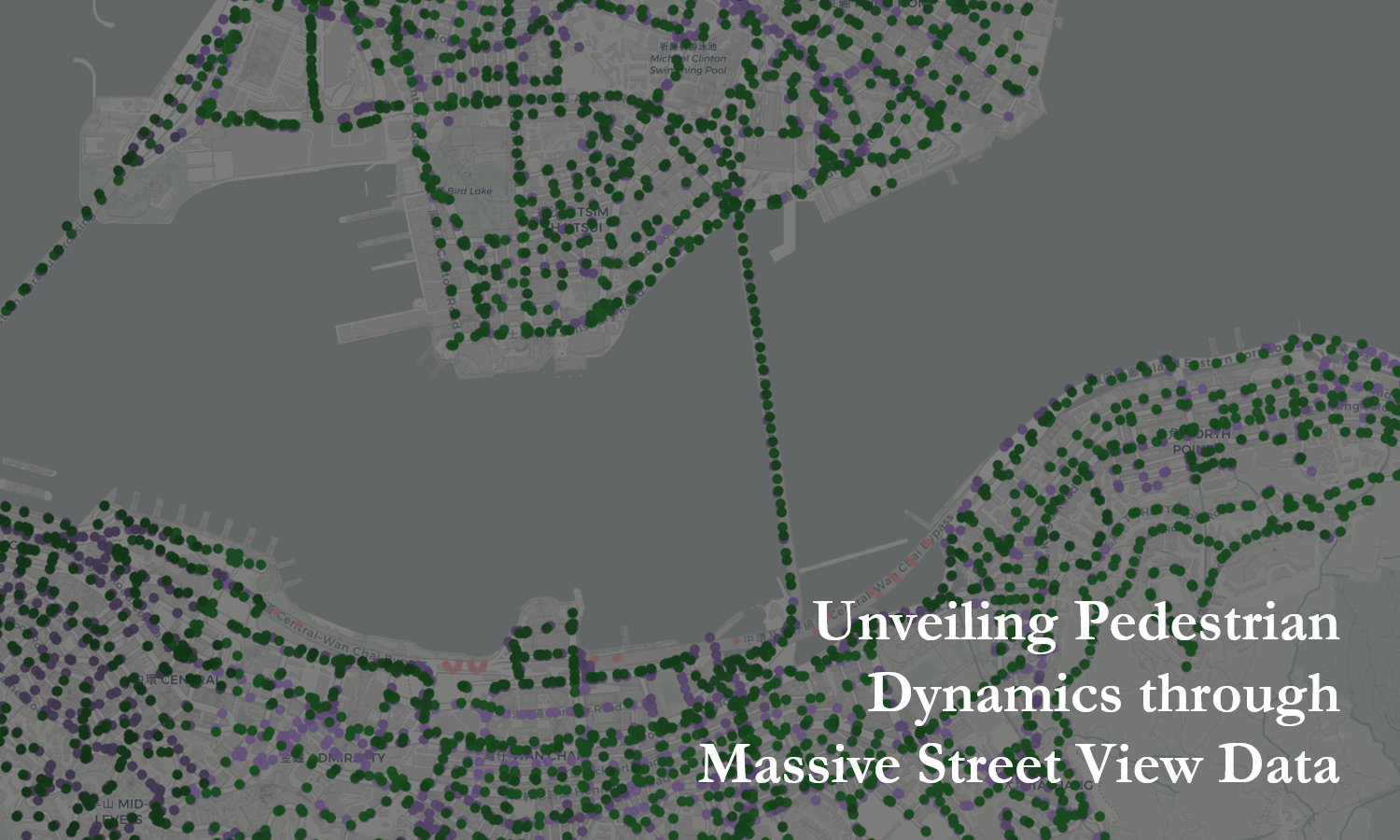
This study uses large-scale street view data to examine pedestrian dynamics, providing new perspectives for understanding urban spaces and human activities.
This study explores the application of geospatial big data to identify and characterize urban functional zones. It emphasizes the potential of large-scale spatial data and advanced analytical methods to uncover urban spatial patterns and provide valuable support for planning and sustainable development. 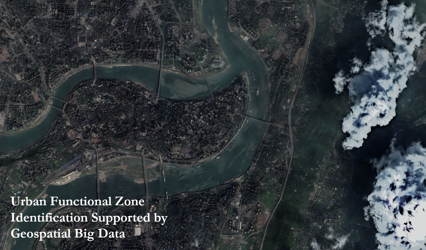
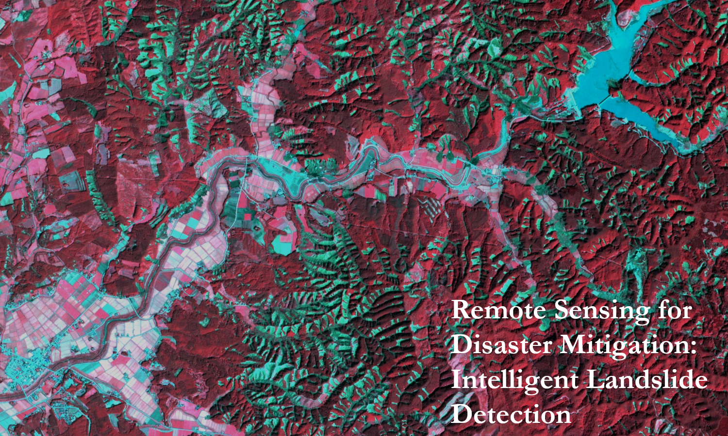
An intelligent co-seismic landslide mapping algorithm based on tri-temporal remote sensing imagery and logical information fusion, supporting rapid and reliable disaster response.