Remote Sensing for Disaster Mitigation — Intelligent Landslide Detection
Abstract
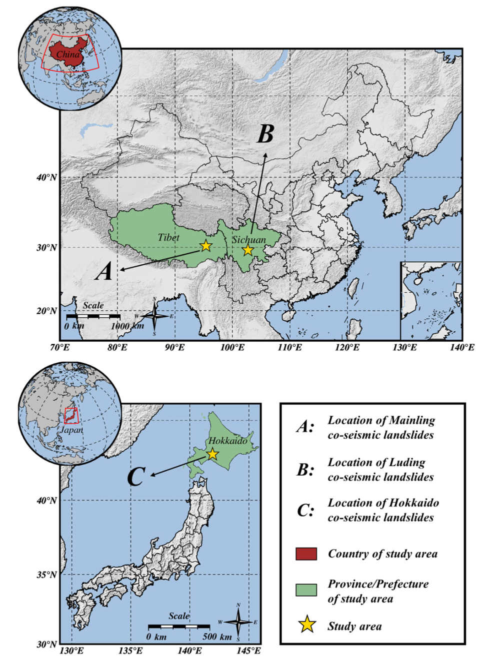
Accurate co-seismic landslide mapping is vital for emergency response and recovery. Many earthquake-prone regions are vegetated, where traditional methods face difficulties. This study proposes an automatic change detection method (CD-TLI) that fuses tri-temporal logical patterns and spectral features. Experiments in China and Japan using PlanetScope data achieved >94% overall accuracy, with Kappa and F1-scores above 0.87.
GitHub Repository: https://github.com/ChenghanYang0612/CDTLI-Landslide-Mapping
Key Contributions
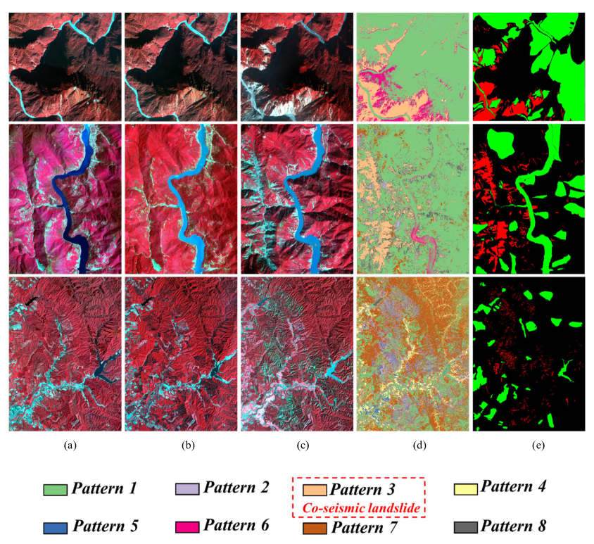
- Use of vegetation indices to highlight landslides and reduce noise.
- Logical pattern analysis of tri-temporal images as prior knowledge.
- Fusion of spectral and logical features for robust mapping.
Outlook
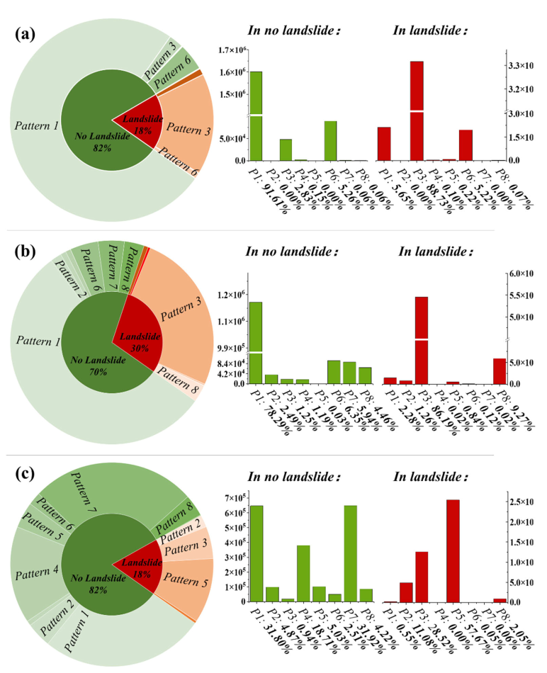
CD-TLI may misclassify other land changes and shows weaker performance in non-vegetated areas. Future work will integrate terrain and soil parameters and extend validation across regions. The method provides a rapid and reliable tool for disaster mitigation.
Gallery